RealDesigner3D
Configurateur de logement 100% digital
RealDesigner3D est une suite logicielle dédiée aux professionnels de l’immobilier permettant la personnalisation en 3D des logements par leurs futurs acquéreurs.
Offrez une expérience inégalée à vos clients tout en optimisant l’efficacité de vos équipes !
RealViz3D
Maquette 3D immobilière haute définition
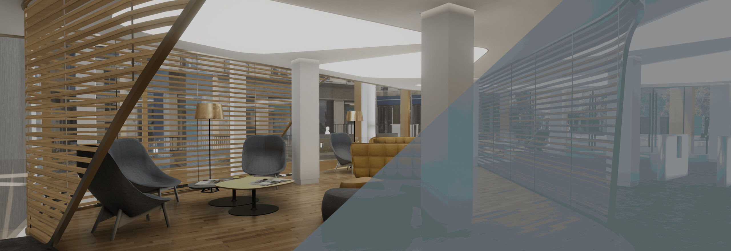
Innovation de rupture, la 3D temps réel permet la visualisation 3D de programmes immobiliers avec un niveau de qualité graphique, une immersion et une interactivité incomparables.
Boostez votre commercialisation avec un logiciel à la hauteur de vos ambitions !
L’innovation 3D au service de l’immobilier

REALIZ3D est l’expert reconnu dans la création de maquettes 3D temps réel, destinées aux programmes immobiliers résidentiels, tertiaires et à la valorisation des territoires.
Grâce à une expertise pointue dans le domaine de la 3D temps réel, REALIZ3D optimise le potentiel du moteur Unity pour offrir des rendus graphiques de haute qualité et développer des fonctionnalités visant à digitaliser les processus métiers de l’industrie immobilière.
REALIZ3D a développé, en partenariat avec plusieurs acteurs majeurs du cloud gaming, sa propre solution de diffusion, à travers un parc de serveurs propriétaires, sécurisé et 100% français.
Cette technologie, nous permet de diffuser nos logiciels 3D sur internet. Quel que soit votre support, il vous suffit d’une connexion internet !



Créé en 2013, REALIZ3D est spécialisée dans l’édition de logiciels à destination de l’industrie immobilière.
Constituée d’une équipe talentueuse de plus de 20 personnes, la Société s’impose comme un des leaders du secteur de la 3D pour l’immobilier.
Elle a ainsi participé à plus de 300 projets immobiliers depuis sa création et plus de 7 000 logements sont personnalisés chaque année avec son logiciel de configuration.
REALIZ3D a intégré en 2023 la branche immobilière de SoftNext, filiale du groupe Baelen, déjà composée de sociétés leaders de leur secteur comme All Systems et Data Soluce.


